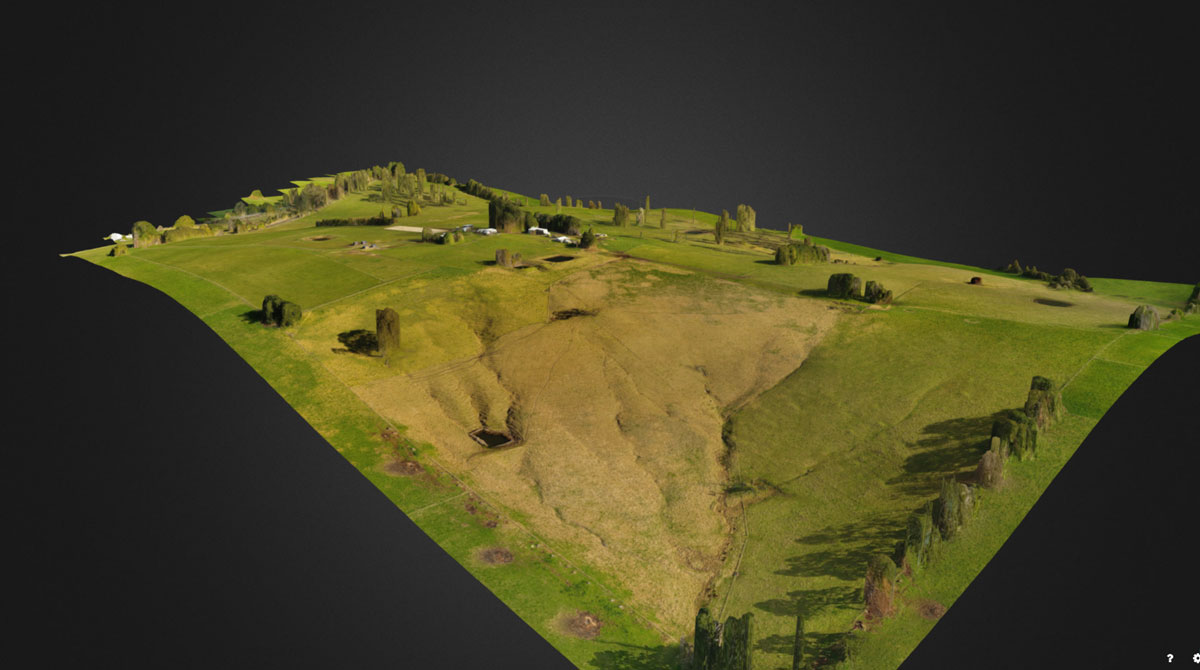
3D Mapping or Aerial survey training involves the accurate surveys and topographic analysis with increased efficiency using Geothermal cameras in Drones.
Demands of these drones and drone pilots has been on the raise everyday in building or civil construction sites due to its time saving nature and efficiency.
Unmanned aircraft system simulation focuses on training pilots (or operators) to control an unmanned aircraft or its payload from a control station. Flight simulation involves a device that artificially re-creates aircraft flight and the environment in which it flies for pilot training, design, or other purposes.
It includes replicating the equations that govern how aircraft fly, how they react to applications of flight controls, the effects of other aircraft systems, and how the aircraft reacts to external factors such as air density, turbulence, wind shear, cloud, precipitation, etc.